You open Google Maps, enter a destination, and within seconds your phone knows where you are, what road you are on, how long it will take for you to reach your destination, what the traffic is like, and maybe even what your destination looks like.
You can zoom in on streets you have not been on, take Streetviews, search for restaurants and read reviews, check the times they are open, and how to get there, without really ever thinking about how Google is able to do all of this.Google Maps seems so intuitive that it almost seems like a paper map.But it is much more complex than that.
There is a whole array of GPS, satellites, cameras, databases, data, algorithms, machine learning, and more that make Google Maps do what it does.But how does it really work?
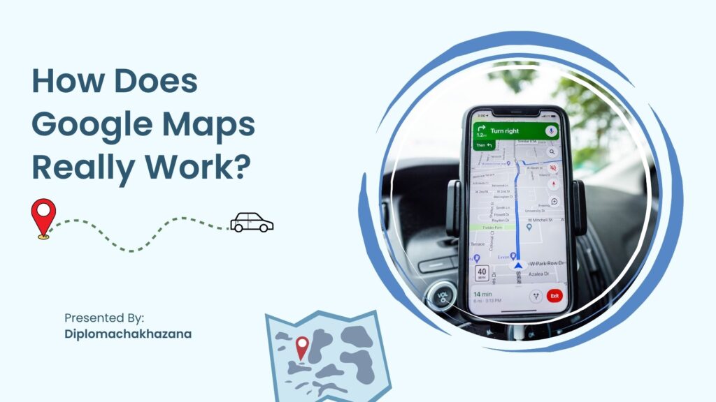
How does Google Maps know where you are?
Let us start small, with the blue dot.If you open Google Maps on your phone, most likley it is able to pinpoint your general location almost instantly.This has a lot to do with GPS technology.This system allows devices to calculate their positions using satellite technology.Your phone is able to communicate with satellites orbiting the earth, allowing it to calculate an approximate position.Your phone is not limited to just GPS.Depending on what technology is avalible, phones are able to approximate position using Wifi, cellular towers, or other location services.
These can be used when GPS is unavailable, or can be used to enhance GPS positioning.Once your phone has calculated a position, Google Maps is able to put that blue dot on the map.But how does Google Maps know what road you are on?While knowing your approximate location is important, more often than not, you do not need to know that you are somewhere “around” a location, you need to know that you are on a specific road.This is where the power of databases comes into play.Your phone is able to cross reference your approximate position with a database of roads, allowing it to determine roughly what road you are on.If you are driving on a road, your phone is able to use this data to determine your position on the road.
It is important to note that this information is used for more than just fun.Your phone is able to determine where you are, and where you are on a road, in order to navigate you to a location.
How does Google Maps know about traffic?
Traffic is one of those features that we take advantage of, but never really think about.Google Maps does not need a camera pointed at every road to know when traffic is happening.As people drive along roads using Google Maps, the traffic data is aggregated.This data is then used to estimate traffic and traffic patterns.Traffic patterns are used to determine the time it will take to reach your destination.In this case, more is better, as patterns give us more information.In this way, Google Maps is able to detect traffic, and show it to you in the form of roads turning green, yellow, orange, or red.Traffic data is also useful in other ways.Traffic patterns can often be used predict traffic.If a road is normally congested at a certain time of day, Google Maps knows to expect that congestion at that time of day.
How does Google Maps know when I will arrive?
You should be able to trust that Google Maps knows when you will arrive.Even though you are in your car, Google Maps is able to make an estimation of when you will reach the destination.This is made possible through a combination of traffic data, road data, and more.Most of the time, this calculation is pretty intuitive.If a 20 km road is empty, Google Maps will estimate it will take you about 30 min to travel that road.But if there is traffic, Google Maps uses traffic data to determine how long it will take to traverse that road.And if that road clears up, your arrival time updates, in real time.That is why arrival time estimates are not always correct.They are the best Google Maps can do, based on what data is available at the time.
How does Google Maps know the fastest route?
Google Maps knows the fastest route because it knows how long it will take to drive every road.Let’s say you are trying to drive from Pune to Mumbai.There are a multitude of different routes from Pune to Mumbai.One of them might be the straight line.The straight line might not be the fastest route, though.Another route might have roads that are a bit further, but are faster.The fastest route might be a route that is normally quite quick, but has traffic on it now.Google Maps is able to compare different routes, and select the route that has the quickest estimated time of arrival.
That is why the route you are being navigated on may not seem like the fastest route on the map.The route is fastest based on the data that is available.And if the data changes, the route can change.That is why you sometimes get that notification about a faster route being available.Google Maps is able to do what it does because of a combination of algorithms and data.The location of the blue dot is calculated from a combination of satellite data, wifi data, phone data, and more.The location data is further combined with traffic data, pattern data, and road data to determine estimated time of arrival, traffic patterns, and more.
The next time you use Google Maps, think about all the cool things that it does.
Where to find maps for Google Maps to use?
If you think about it, Google Maps seems almost magical.You open it, and suddenly it knows what roads are there, what businesses are there, what pictures of those businesses look like, the reviews for those businesses, and more.Where was all of that information before Google started putting it together in an intuitive application?Google is able to do what it does because there is an endless amount of information about the location.
In some ways, we are lucky to live in the time that we do.People have dedicated their lives to making sure that maps are accurate.Maps of roads are constantly being updated, information about businesses are constantly being updated, pictures of those businesses are being uploaded, information about traffic is being calculated, and more.It is all a part of what makes Google Maps what it is.
How does Google Maps have images?
One of the coolest things about Google Maps is Street View.Street View lets you look around and get a feel for a place, as if you were there.But where does all that magic come from?Google was able to get panoramic photos of roads all over the world by driving cars with special cameras on them.Crews would drive on roads, taking photos of all the surroundings.Google is able to use that data to put together pictures of a place as if you are there.That is why Streetview lets you look around, instead of just showing you one picture.Streetview is able to do what it does because of special cameras that are able to capture pictures from all angles.But how does Streetview get pictures of all places?Depending on the area, Street view images can come from a variety of sources.
In some cases, a car is not the best option, and other equipment may be used to capture pictures of a location.This equipment can vary widely, and can include just about anything that can capture images of an area.That is how Streetview works and how images are captured.
Does Street View use real time images?
It is an important question.Street view does not use real time imagery.The images you are seeing may have been captured months, or even years ago.That means that if you see a specific looking shop on Street Views imagery, it may not still be there if you go visit it.That is why Google Maps sometimes offers you the option to view Street view imagery at a specific date.If the image was taken years ago, you may see a vastly different looking place.In this way, Streetview works almost like a time machine.
How does Street View cover privacy?
If you look closely at Street View, you may notice that faces and license plates of cars are often pixelated.This is a privacy feature, that ensures that nothing appears in the image that people who appear in the image do not want to appear.This is important, as people do not want personal information to be shared.Google has to go through every image, identifying faces and removing them.Google is able to do so quickly and efficiently with the right kind of technology.
Streetview imagery may seem magical, but it really just uses a special combination of equipment and technology to put together images of a location.
How does Google Maps know about business?
Try searching for something as simple as coffee shops.Within seconds, Google Maps has found you a multitude of coffee shops, along with reviews, pictures, and more.But how does Google know all of that information?Google has information about all those businesses because that information is put into Google.Businesses have the ability to claim their information on Google Maps, and update it as needed.People also have the ability to review those businesses, and add information about them.That is what makes Google Maps such a neat utility.
It is not simply a map, it is a constantly updating database that contains information about all sorts of things.
How does Google Maps search for businesses?
When you search for something like a pizza place, Google Maps needs to know two things.What are you searching for?Where are you searching for it?Using location data, Google Maps is able to provide you with options that are near you.That is how Google Maps knows about businesses, and finds them for you.How does Google know all this information?
Google is able to know all this information because people put it into Google.
Businesses can enter and update their information, allowing Google to provide you with the most information about them.People can review those businesses, allowing Google to aggregate those reviews, and provide you with information about how good a business is.This makes Google Maps a powerful and useful tool, as you can find all the information you need about a business, all in one place.But more important than finding businesses, Google Maps finds you a way to get there.
What do I do if I want to see somewhere offline?
Another neat feature about Google Maps is that you can download maps for certain areas.Maps for those areas are downloaded directly onto your phone, so you do not need an Internet connection in order to use them.But what if you do not have an Internet connection at all?
You see, Google Maps requires an Internet connection in order to do many things.Your phone has to be able to recieve information about traffic in order to give you accurate information.If you have downloaded maps for an area, it is likely that you will not get all the benefits that you would normally get.Certain information like traffic data is going to require you to have an Internet connection in order to access it.Offline maps are incredibly useful, but they are not going to provide you with all the benefits that Google Maps is known for.
How does Google Maps know where the place is if I search for it?
You may want to search for pizza places, but Google Maps needs to know where to look for pizza places.How does Google Maps do that?Google Maps is able to do that based on knowledge of the world and knowledge of you.Google knows where all the different pizza places are, and Google knows where you are, so it can give you pizza places that are near you.
How does Google Maps estimate my arrival time?
You open Google Maps, and Google is able to tell you how long it will take for you to drive to your destination.How does Google Maps know that?
Google Maps knows that because Google is able to estimate how long it will take for you to drive on the road.That calculation is based on information about the road, how long it takes to drive on average on that road, traffic information, and more.That is how Google Maps is able to estimate your arrival time.
Google Maps is more than just a map.
Google Maps may seem like it is simply a map, but it really is much more than that.It is a powerful piece of technology that requires GPS, satellites, cameras, databases, algorithms, and more to do what it does.
Your phone has to know where you are, the map has to know where roads are, the traffic has to know about traffic, the database has to know about places, algorithms have to know how to navigate you, and if you want to look around, Street view has to know where you are so it can show you images.What looks like a simple blue dot on a map is really the culmination of all sorts of interesting technology.
The next time you open Google Maps, think about all the cool things that it does.